 vesseltracker.com
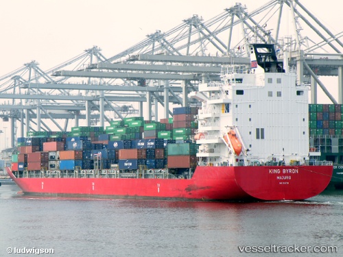
Vessel 538090571 IMO: 9357781, MMSI: 538090571
UTC, 2.10681, 102.09509, course: 315, speed: 8.6
UTC, 2.29784, 101.87795, course: 311, speed: 8.5
2026-02-12 17:57:08 UTC, 2.48933, 101.62891, course: 307, speed: 8.6
Live AIS position:
UTC. Near PORT DICKSON),
updated 2026-02-12 17:57:08 UTC.
Find the position of the vessel 538090571 on the map. The latter are known coordinates and path.
marine traffic ship tracker show on live map
The current position of vessel 538090571 is 2.48933 lat / 101.62891 lng. Updated: 2026-02-12 17:57:08 UTCDetails:
Last coordinates of the vessel:
UTC, 1.97924, 102.24428, course: 311, speed: 9UTC, 2.10681, 102.09509, course: 315, speed: 8.6
UTC, 2.29784, 101.87795, course: 311, speed: 8.5
2026-02-12 17:57:08 UTC, 2.48933, 101.62891, course: 307, speed: 8.6